
Click on map to expand
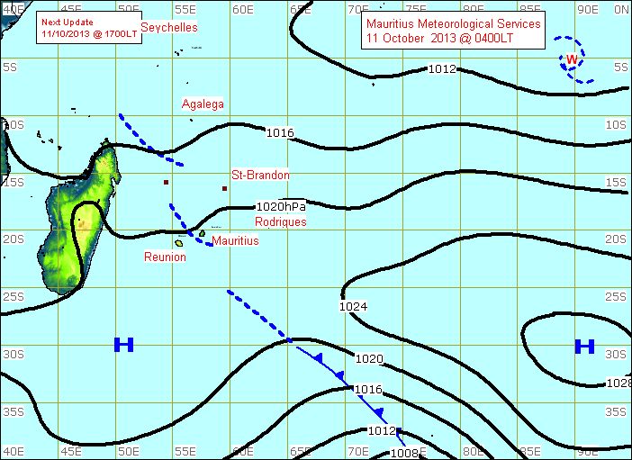
Synoptic weather map
A synoptic weather map shows weather events occurring at one time throughout a large area, such as a country or region, based upon simultaneous worldwide observations. It shows weather patterns over a large area by putting together many weather reports from different locations all taken at the same moment in time.
A synoptic weather map will show areas of high pressure marked with an "H," areas of low pressure marked with an "L," and fronts, which are the leading edges of current weather systems. Some synoptic weather maps show "isobars," which are concentric lines around a high or low weather system indicating the system's wind strength.